
HOME TRAVEL LOG MOUNTAIN BIKING WINDSURFING STORY ARCHIVES RV INFO PHOTOS CONTACT US
HOME
TRAVEL LOG
MOUNTAIN BIKING
WINDSURFING
STORY ARCHIVES
RV INFO
PHOTOS
CONTACT US
< previous story home next story >
Folding 20er Passion #5 - Colorado - Kenosha East, along the Lost Creek Wilderness
Saturday, November 1 , 2008
You may recall that about a month ago, I started this series of posts about adventures on my new folding bike with a report on one of the high elevation Colorado classics, Kenosha to Georgia. That's a very popular ride and for good reason, especially in the fall, combining spectacular colors with spectacular trail. The standard out-and-back covers about 24 miles and includes around 3500 feet of climbing.
Across the highway, the Colorado Trail also heads the other direction, but that side seems to get no love. Conventional wisdom says the trail runs into the Lost Creek Wilderness boundary after only a couple of miles, beyond which bikes are not allowed, so there's not really much point in riding that way. However, over the past few years I've seen enough hints that there's actually good riding to be found to the east that I became curious to one day find out for myself. That day came last Saturday.
Let's start with a few spoilers. On the wrong side of Kenosha, where there's supposedly not much to ride, I logged 35.7 miles, 5:46 hours, and over 4400 feet of climbing during one of my longest days in four years of riding. And the number of other mountain bikers I encountered out there sharing the gorgeous weather and high-elevation goodness? Zero.
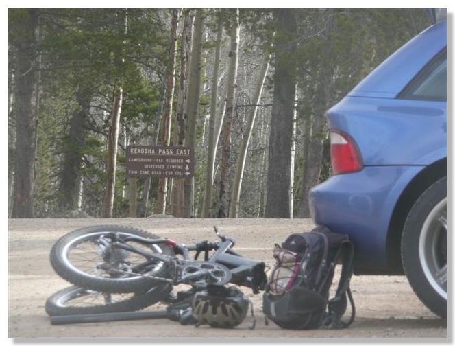
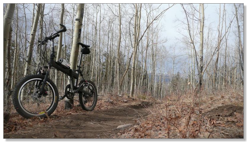
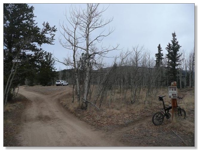
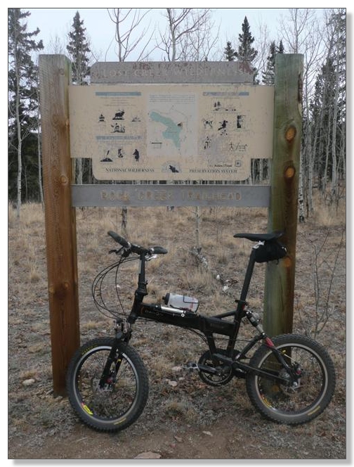
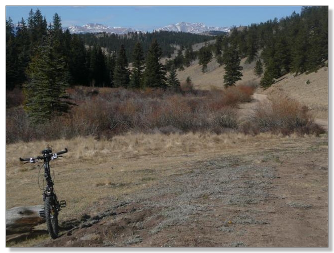
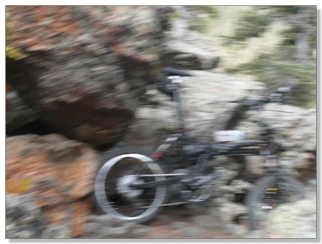
Amazing day. Here's where it started at 9:30am, getting the bike unfolded and my pack overstuffed for a long exploration in the mountains:
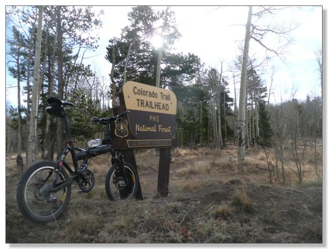
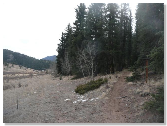
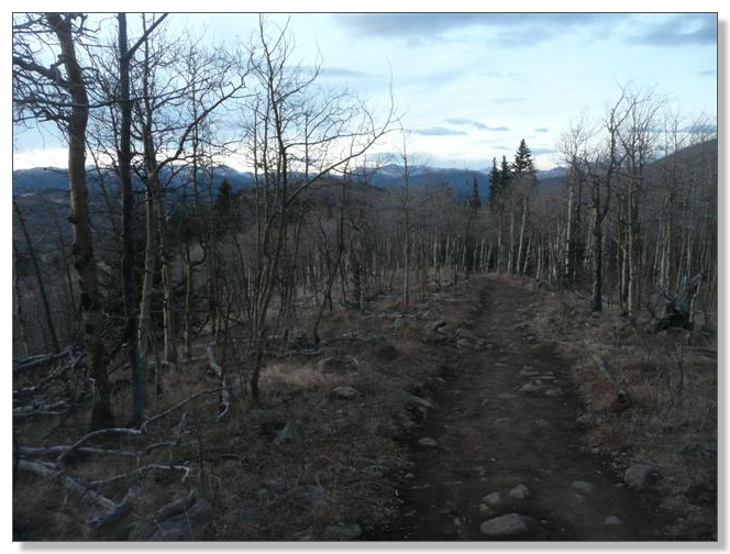
Ten minutes later I was set up, and after a quick stop at the trailhead restroom, was ready to roll:
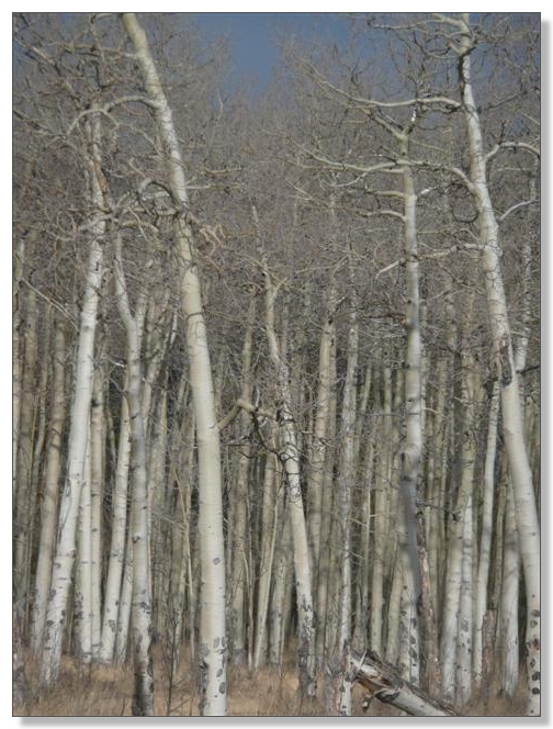
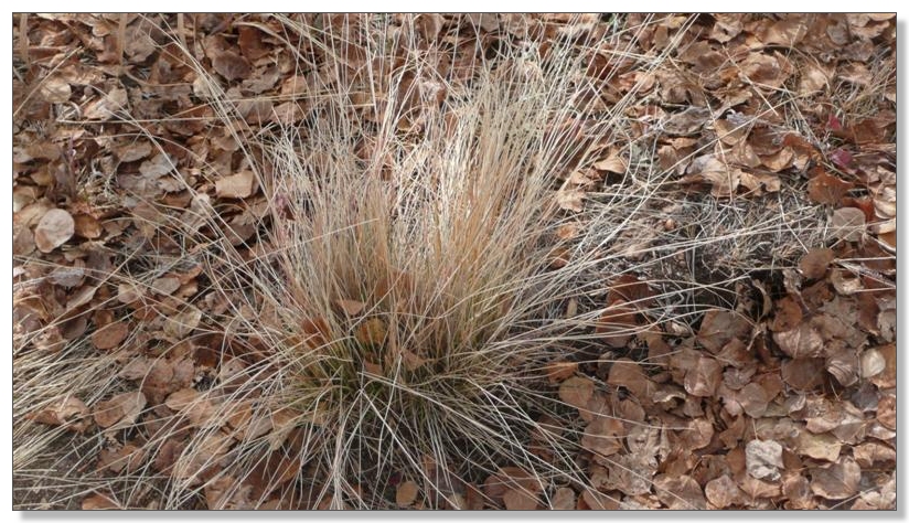
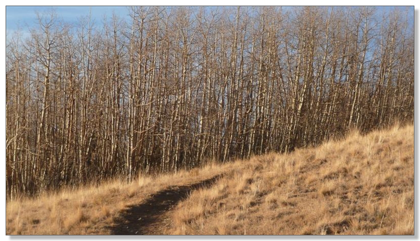
Hard to believe that barely a month ago, these trees were a sea of shimmering gold and burning orange. Now, stark white:
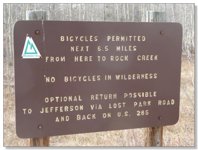
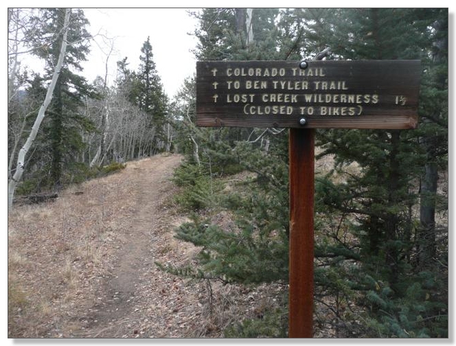
A bit beyond the trailhead comes the first sign of trouble. No Bicycles in Wilderness. While I suppose the optional return suggested would make a viable emergency bailout, I figure it would kinda suck otherwise, since it would leave you riding several miles and climbing about 500 feet on the busy Highway 285 back to the pass:
Better to just retrace the sweet singletrack like this, I'd reckon:
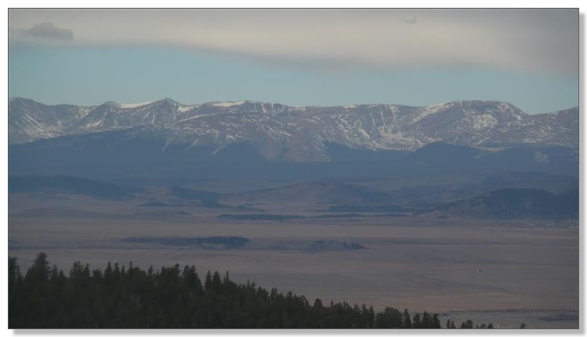
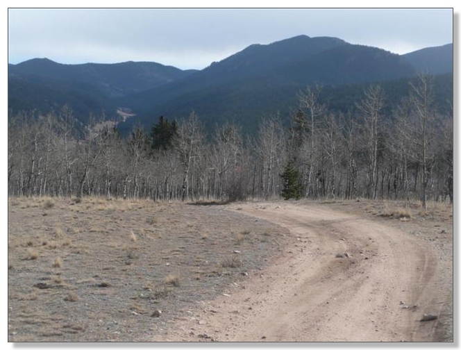
Some snow up was visible on the mountains to the west, but so far anyway, this side of Kenosha was turning out to be clear and dry:
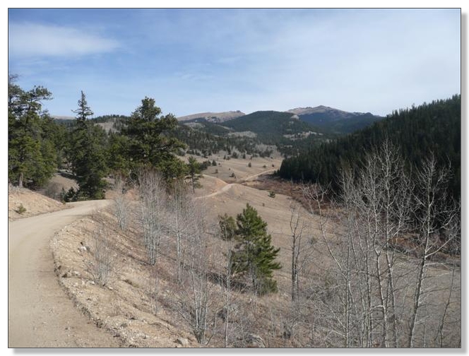
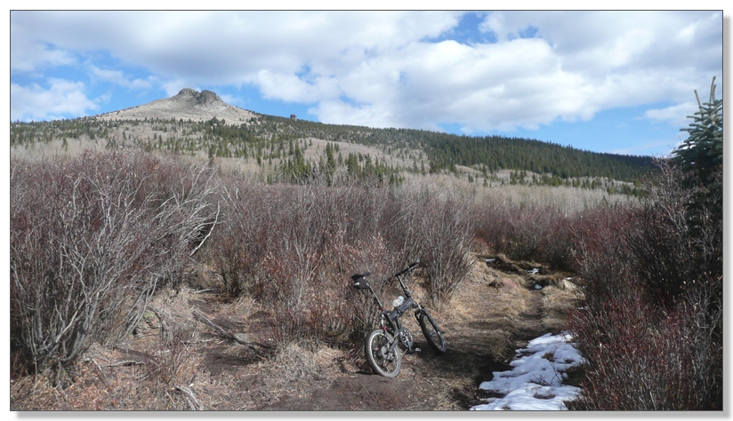
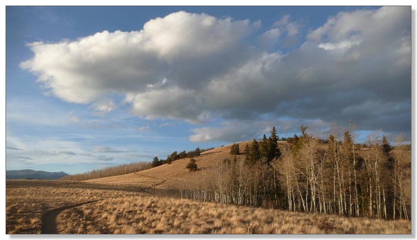
What little information I had found about the terrain in this direction characterized it as "rolling", such as you can see below. While that sounds friendly and nice compared to the 2000' climb on the other side up Georgia Pass for example, be aware that all the rolling does add up...
After I got back, I studied the topo maps a bit and identified the following readily-isolated climbs: 415, 145, 250, 200, 570, 900, 540, 320, 580, 515. Those numbers alone add up to 4435, and I'd guess there's another 20% or so worth of sub-rolling unaccounted for, meaning there's really more like 5000+ for the day, almost all of it above 10k elevation. So it's not exactly just some scenic cruise over here. Prepare to be pretty cooked by the end. But you'll likely be happily cooked
![]() , what with scenery like this all around:
, what with scenery like this all around:
(BTW, that link above is to a free, hi-res interactive USGS topo on MyTopo.com--very handy!)
Big honkin' cairn:
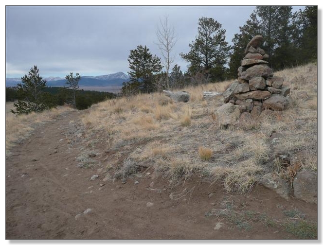
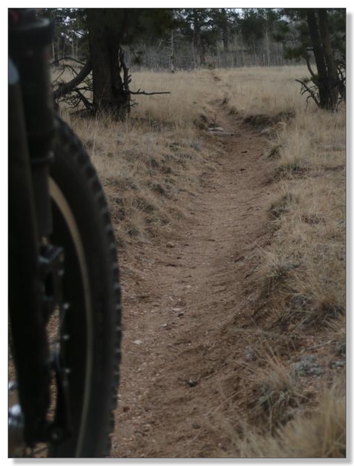
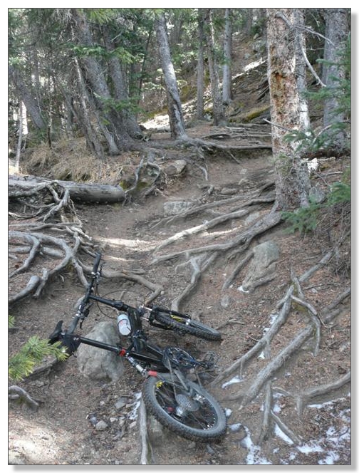
The tread on this route varies wildly, from big honkin' widetrack like above, to skinny but trenched like below:
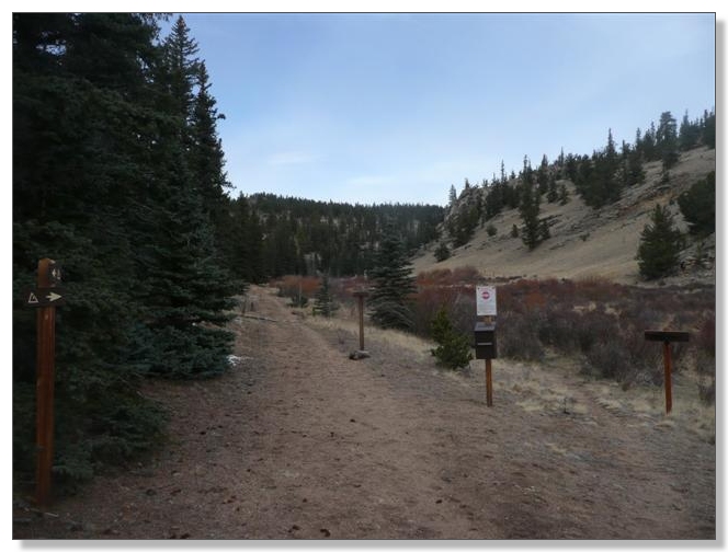
After about 5 miles, I crossed a road at the Rock Creek Trailhead and headed on down the other side to explore the last bit of legal trail before the Wilderness boundary:
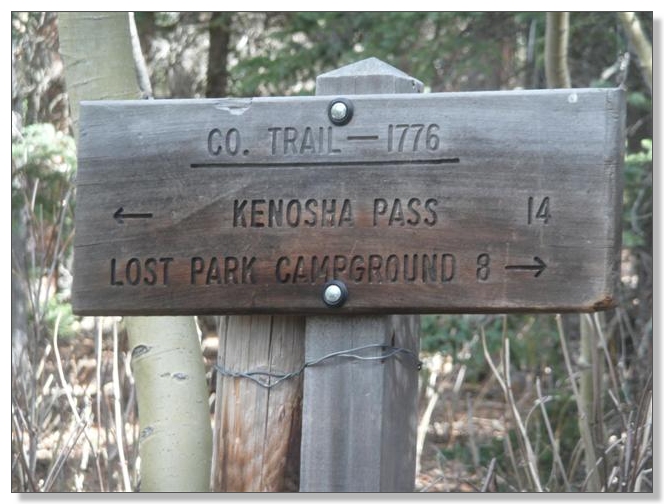
The end arrived quickly amid a sea of signs. Confusingly, I was only about a half mile from the sign above that stated 1-1/3 miles to the boundary, but whatever...
Upon later review, I figured out that it should have been legal to proceed another half mile or so along the CO trail before you have to turn back. I figure they put this sign here since this is something of a major intersection:
The road segment I'd seen on the map and hoped to use turned out to cross a fenced, private ranch, so I turned around and retraced up the trail:
A short descent followed on this occasionally rough road:
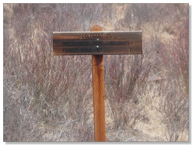
I hit the main "Little Park" road and turned left. This scenic and well-graded dirt road descends for a while, then climbs steadily for about 4 miles along the edge of the Wilderness boundary, bypassing a verboten 7 miles of Colorado Trail singletrack:
Stopped partway up the road climb to have a sandwich and take in some of the funky rocky formations that characterize the Lost Creek Wilderness to the left.
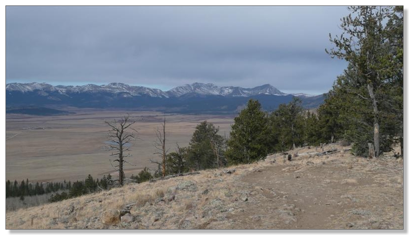
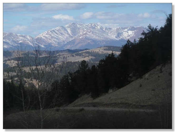
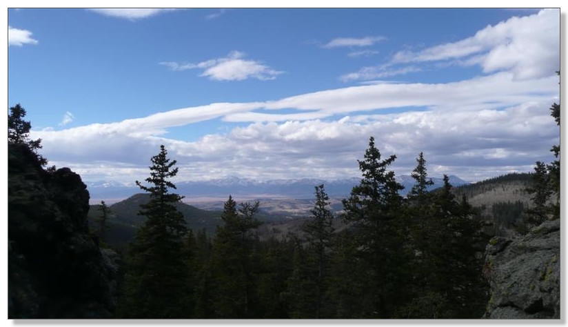
Big views back to the west:
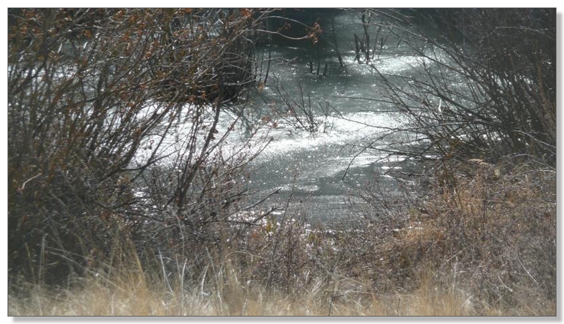
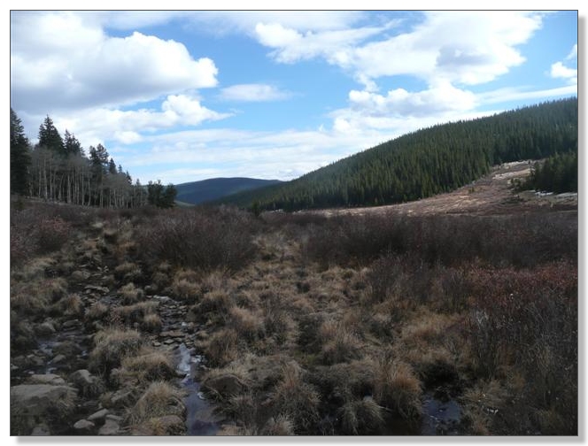
A glistening, partially-frozen creek burbled along next to the road to keep me company:
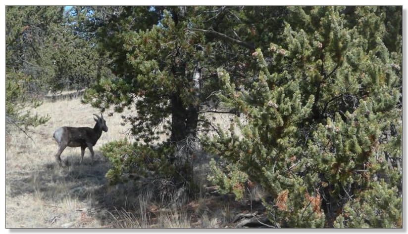
And an occasional bit of wildlife too:
Impressive stuff:
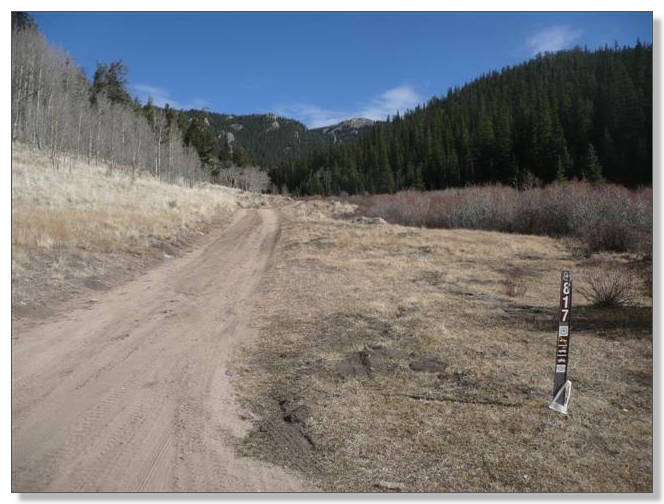
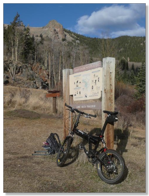
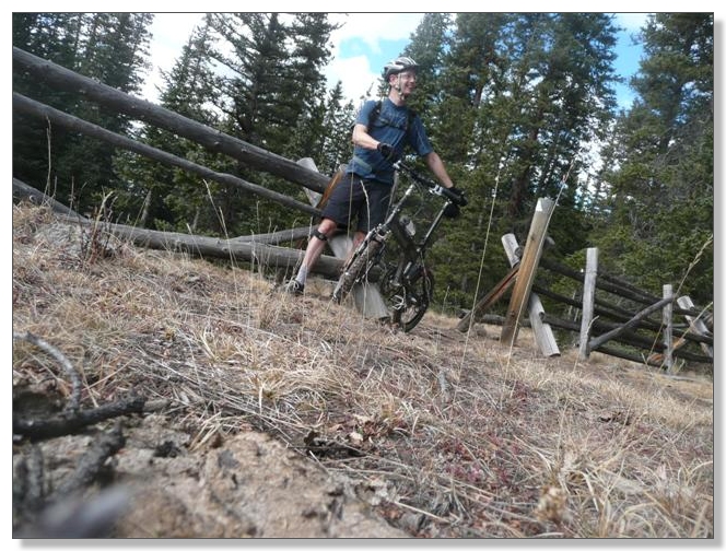
Eventually I hit FR-817, turned left, and very shortly came to the Long Gulch Trailhead where the CO Trail emerges from the Wilderness and it was legal to rejoin:
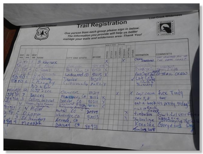
I found it interesting that the trail log had a column for "llama" but none for bike:
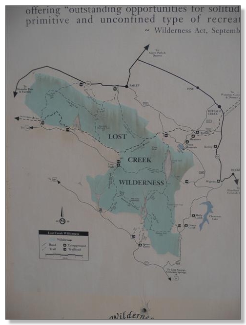
You can see on the left side of this map the chunk of CO Trail just bypassed, and how there's another 8 miles or so ahead that skirts along the edge of the Wilderness before finally entering it solidly for 5 miles before re-emerging on the Buffalo Creek side. The bypass for CO Trail thru riders is to take a 60+ mile road loop around the south side, which seems a really unfortunate thing to have to do to avoid a measly 5 mile segment, but hey, that's life:
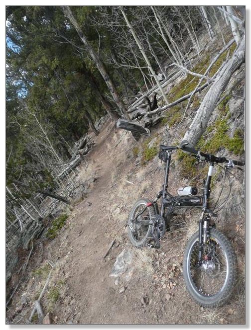
From the trailhead, across a little railroad-tie bridge, a gnarly connector trail lead upwards. Aahh, roots mixed with ice... perfect 20er terrain!
![]() :
:
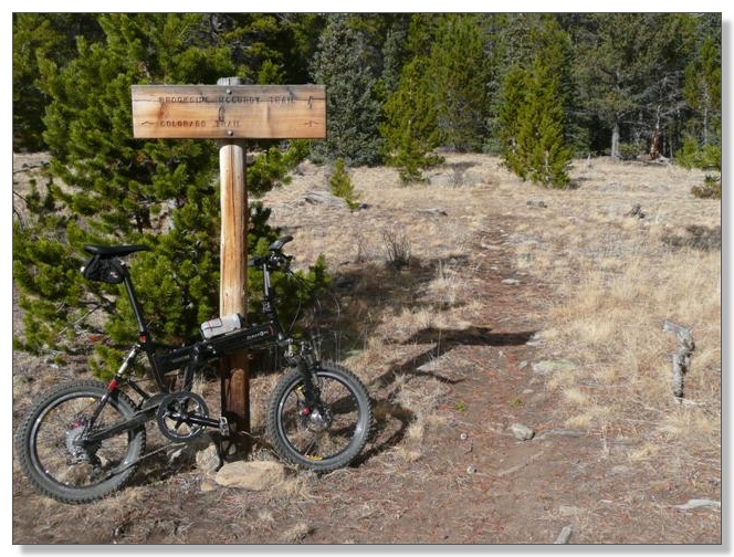
After that short, unruly connector, you intersect the CO Trail proper again. To the left is the off-limits-to-bikes Wilderness segment, while the 8-miles to the right are bike-friendly for anybody willing to get here in the first place:
The climb is prototypical, switchbacking, forested CO Trail goodness, gaining about 900 feet in a couple of miles:
About halfway up comes a rocky outcropping that makes a cool overlook:
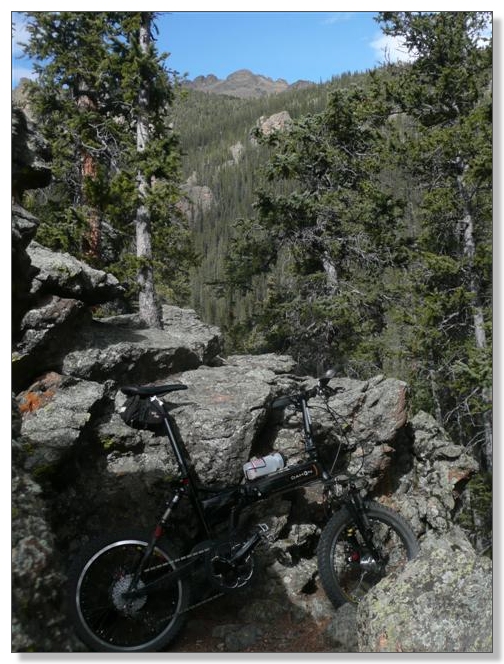
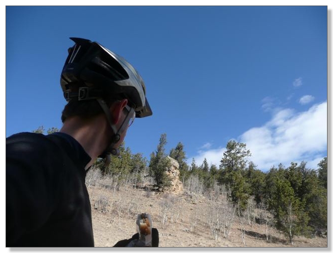
Obligatory Art Shot:
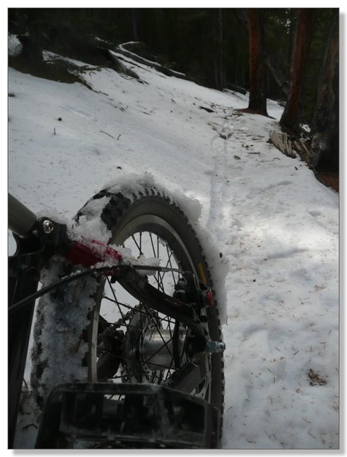
After the overlook, the trail wraps around a knob and becomes north-facing for the next half mile or so. This is really the only shaded section on the whole ride, which helps make this a great choice for a late season ride in the high country. The snow was mostly rideable going up, except the occasional icy and/or deep spot that required a short push. Rode pretty much all of it going down though, which is always great fun:
Topped out at about 10,900 feet... in shorts... in November. Wow!!!
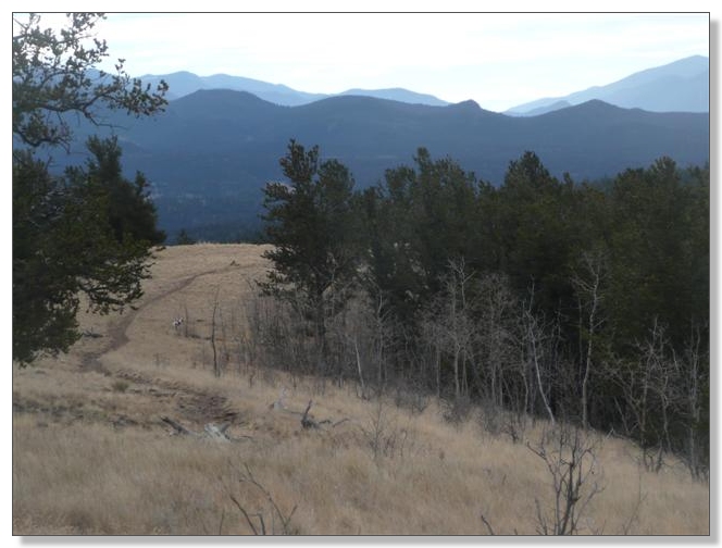
After the high point you start a long, slow descent down the other side, through an isolated, mellow, high-elevation valley:
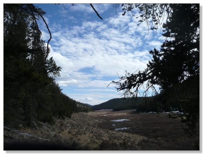
Not quite alpine, not quite meadow, not quite swamp. This is an interesting and picturesque environment:
After several miles of gentle downhill where the main challenge was picking which braid was the "real" trail from among the many options that were seemingly created by errant llamas and cattle, I arrived at the intersection with the Brookside-McCurdy hiking trail and again knew where I was on the map:
Just beyond that point, my topo map had shown the CO Trail crossing the Wilderness boundary again, but only for a short distance, and remaining inside by mere yards. It was getting late and I had reached my 2:30 pm turn-around deadline, but I was really curious to know if that little segment was really marked off or not, so I pressed on for another half mile. Reached the next creek crossing (of sorts) without seeing any signs, so I figure there would be no problems riding all the way to Lost Park Campground. If you did that, you'd end up with about a 40-42 mile out-and-back, but I was already past my deadline so decided to turn around and try to beat the inevitible darkness.
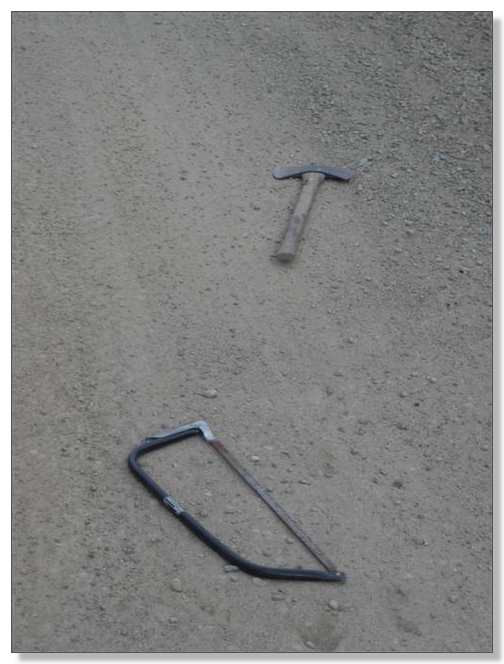
Been out for 5 hours already, and had only 3 hours of daylight left to retrace the route, so the mellow climb out of the meadow felt surprisingly tough. I found myself wishing for a "second wind", but instead found an all-too-real headwind, which was pretty demoralizing. But upon reaching the fence and starting down through the snow, I was greatly revived and reveled in that descent. All too soon I hit the road again, where there were now an axe and saw arranged in the middle of the road. An omen, perhaps? I moved 'em to the shoulder where I hoped somebody would recover them:
I donned my long sleeves for the long cruise down the fireroad. I must say that running 20-25 mph without much effort for almost four miles was pretty nice.
I was starting to feel like I might not end up spending the night in the woods after all (or take that "optional" emergency road bailout). Of course, in reality, there was over 1400 feet of climbing left (in three rolling chunks) to get me home, so I kept it moving, one-foot-in-front-of-the-other style at times. Luckily, the late-afternoon golden light was absoultely stunning, and provided me with plenty of excuses to rest and take photos:
Finally reached the last rocky descent and bounced my way home in the waning light:
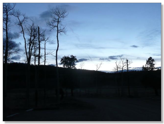
Got everything loaded up just as the sun disappeared for real. Perfect timing!:
As I was leaving, across the highway there was a lone pair of riders loading their bikes in the near darkness. I couldn't help but wonder if they had had as good a ride on the "right" side of Kenosha as I had had on the "wrong" side this day. I hope so. Mine was a personal classic.
![]()
< previous story home next story >
HOME TRAVEL LOG MOUNTAIN BIKING WINDSURFING STORY ARCHIVES RV INFO PHOTOS CONTACT US